It Only Takes One
Today, June 1, 2026, the Atlantic hurricane season officially opens — six months of heightened vigilance for every American who lives within reach of a tropical storm, which is to say a very large number of Americans indeed. NOAA's seasonal outlook calls for 8 to 14 named storms, 3 to 6 hurricanes, and 1 to 3 major hurricanes — figures that sit meaningfully below the 30-year averages of 14 named storms, 7 hurricanes, and 3 major hurricanes per season. The primary driver is El Niño, the periodic warming of the central and eastern Pacific Ocean that tends to increase wind shear across the Atlantic, disrupting the atmospheric conditions that allow hurricanes to form and intensify. NOAA puts the odds of a below-normal season at 55 percent. "Although El Niño's impact in the Atlantic Basin can often suppress hurricane development," said NOAA's National Weather Service Director Ken Graham, "there is still uncertainty in how each season will unfold. That is why it's essential to review your hurricane preparedness plan now." And then he said the sentence that every meteorologist says at the start of every hurricane season, in good years and bad: "It only takes one storm to make for a very bad season."
The Storm the Weather Bureau Never Saw Coming
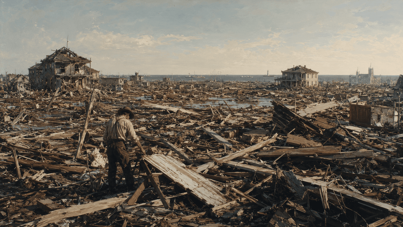
The history of American hurricanes is, in large part, a history of what happens when "it only takes one" stops being a precautionary phrase and becomes a fact. The worst single storm in American history struck on September 8, 1900, when a Category 4 hurricane came ashore on the island city of Galveston, Texas, with winds exceeding 135 miles per hour and a storm surge of more than 15 feet. At least 8,000 people died — some estimates run as high as 12,000 — making it the deadliest natural disaster in United States history, a distinction it holds to this day. Before the storm, Galveston was booming: the largest city in Texas, a prosperous port through which the cotton trade of the American South flowed, a city that considered itself too cosmopolitan and too well-situated to be seriously threatened by a hurricane. The Weather Bureau — predecessor to the National Weather Service, then just ten years old — had received reports of a major storm in the Caribbean but confidently rerouted its forecast track away from Texas. The storm did not reroute. On the morning of September 8, Galveston's chief meteorologist Isaac Cline rode his horse through the beach neighborhoods, telling residents the water at their feet was nothing to worry about. The storm surge was already rising. By midnight, a third of the city had been destroyed, and more than 8,000 of the 40,000 people who called it home were dead.
What Galveston produced, out of catastrophe, was adaptation. The city built a 17-foot seawall — the largest in the world at the time — raised the grade of the entire island by dredging sand from the Gulf floor, and reorganized its government into the commission form that dozens of American cities would later adopt. The Weather Bureau reformed its forecasting and communication practices. And the United States began, slowly and imperfectly, the long work of learning to read the Atlantic's intentions before they arrived. That work has never been completed — and in 125 years, the Atlantic has made that clear repeatedly. Hurricane Camille in 1969 struck the Mississippi Gulf Coast with winds of 190 mph, the highest ever recorded at landfall. Hurricane Andrew in 1992 virtually erased Homestead, Florida. Hurricane Katrina in 2005 killed more than 1,800 people, most of them in New Orleans, where the levee failures that followed the storm revealed not just the fury of the Gulf but the consequences of decades of deferred infrastructure maintenance and inadequate emergency planning. Hurricane Helene in 2024 killed more than 200 people, the deadliest Atlantic hurricane in nearly two decades, most of the deaths occurring not on the coast but inland in the mountains of North Carolina and Tennessee — a reminder that the danger of a hurricane does not stop at the shoreline.
The tools available to today's forecasters would have seemed miraculous to Isaac Cline, riding his horse through the rising water on Galveston's beach in 1900. NOAA's new capabilities for the 2026 season include AI-based weather models, drone reconnaissance aircraft that fly directly into hurricane eyewalls, and next-generation satellite data systems that track storm development in near-real time. Average forecast track error at 72 hours — the distance between where a hurricane was predicted to go and where it actually went — has been cut nearly in half since 2000. Evacuations that once required days of advance warning can now be triggered with greater precision and greater lead time. The gap between 1900 and 2026, measured in the science of hurricane prediction, is one of the great stories of American meteorological progress. And yet the Gulf of Mexico and the Atlantic are the same bodies of water they have always been. El Niño will suppress some storms this season, and the mathematics of a below-normal year will hold for most of the next six months. But June 1 arrives every year as a reminder: the season is open, the ocean is warm, and somewhere between now and November 30, one of those storms will have a name. The question that history has always asked — and that forecasters have spent 125 years trying to answer before it is too late — is which one, and where, and when.